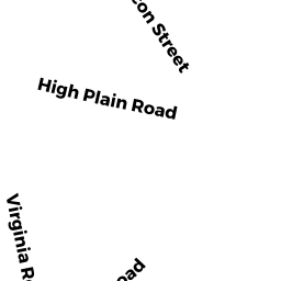
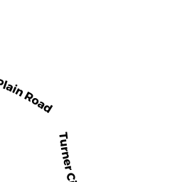
16 HIGH PLAIN RD
Owner Information
GLM/JAM REALTY TRUST
16 HIGH PLAIN RD
ANDOVER, MA 01810


Property Details
16 HIGH PLAIN RD is classified as a Single Family Residential (Cape).
The primary structure on this property was built in 1936. There are 1,460ft2 of built area within this property. There is 1,460ft2 of residential/living space within this property. This property is listed as having 6 rooms.
16 HIGH PLAIN RD is valued at $478,100. The land is valued at $274,300 and the structures are valued at $203,800.
This property is in Zone SRB. Confirm with local Zoning Board authorities to ensure there are no overlays or other easements on this property.
16 HIGH PLAIN RD was last sold on Wednesday, August 20, 1997 for $0.
Assessment data from fiscal year 2021.
Flood Data
According to the FEMA National Flood Hazard Layer, this property does not appear to be in a flood zone. It may also be in an area not yet reviewed. Nonetheless, confirm this information prior to taking any action.
To view the flood hazards around this property, create a FEMA "Firmette" Map of the area around 16 HIGH PLAIN RD.
Broadband Internet Providers
| Provider | Type | Bandwidth (mbps) | |
|---|---|---|---|
| HughesNet | Satellite | 25 | 3 |
| Viasat Inc | Satellite | 100 | 3 |
| Verizon New England Inc. | Fiber | 940 | 880 |
| Comcast | Cable | 1000 | 35 |
| T-Mobile | Fixed Wireless | 25 | 3 |
| GCI Communication Corp. | Satellite | 0 | 0 |
| Crown Castle Fiber | Fiber | 0 | 0 |
| VSAT Systems, LLC. | Satellite | 2 | 1 |
Broadband service provider data from December 2020.
Adjacent Properties
- 16 SHIRLEY RD
Single Family Residential owned by FAIZ MIR - 4 VIRGINIA RD
Single Family Residential owned by WHITLEY LESLEY LE - 6 VIRGINIA RD
Single Family Residential owned by GANNON REALTY TRUST - 8 VIRGINIA RD
Single Family Residential owned by WALSHE RYAN - 12 HIGH PLAIN RD
Single Family Residential owned by CHALEK AARON - 18 HIGH PLAIN RD
Single Family Residential owned by 2012 MORRISON REALTY TRUST